
Misery Bay
- Jul 1, 2018
- 2 min read
Updated: Sep 15, 2022
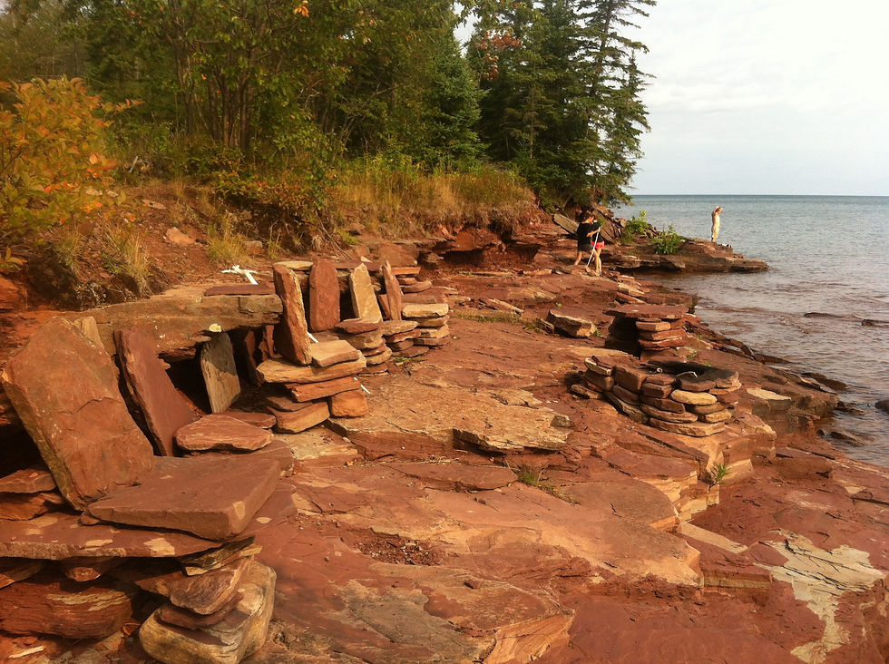
Contrary to the name, this is one of the nicest beaches in the area. From where you park, the beach is beautiful fine sand that transitions to stone and then sandstone bedrock as you walk west (above). To the northeast, the beach continues for miles, though there are tons of house right on the beach in that direction. I've heard that towards the northern end of the beach is a good place to look for agates after a storm though. The area to the east however provides a beautiful view of Superior and an awesome place to spend a hot summer day. If you'd like to stay longer, there's a campground at the the DNR access point that you can camp at, though I'd much rather recommend hiking down the beach west a ways and camping on the water. I'm not sure about the legality of it, but most of the land behind the shoreline is public so you'll probably be fine. If you're lucky enough you might even get to see the Northern Lights here. This is one killer spot to see them. One thing to keep in mind is to park along the side of the road next to an occupied campsite, else the DNR might actually come looking for whoever left their vehicle in the beach day parking lot.
To get here from Houghton, head west downtown, through the yooper loop, and head west on US-26. Continue about 14 miles until you get to Toivola. Turn right onto Misery Bay Road. Continue 10.5 miles to the end of Misery Bay Road. It will transition to a smaller dirt road and you will start to see campsites. At the end of this road you'll see a boat launch and a parking area for the beach. Park here, unless you're camping on the beach, in which case park next to a campsite or another camper's car. To get all the way to the sandstone area and Willard Point, you'll need to walk the beach about 2.5 miles with a couple water crossings over Misery River and Black Creek.


Comments